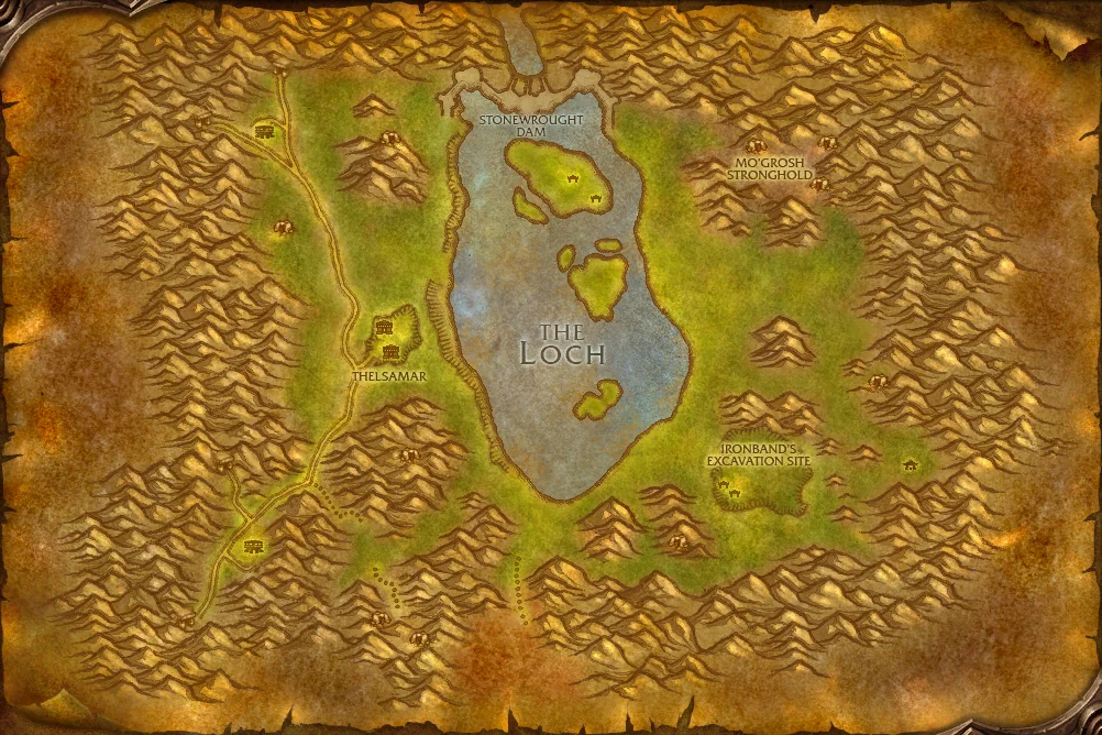
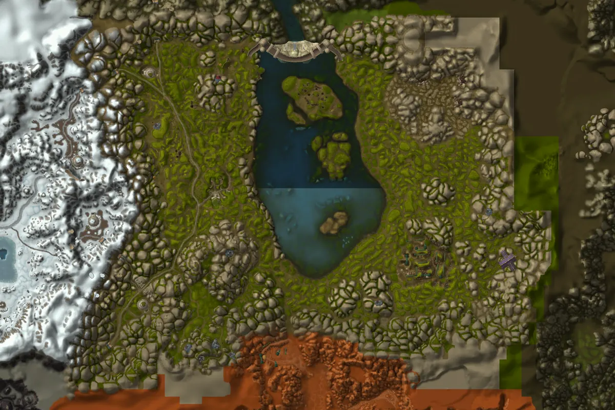
Thelsamar, Loch Modan

Algaz StationThelsamar


- Territory
- Alliance territory
- Level Range
- 10–18
- Continent
- Eastern Kingdoms
- Flight Paths
- 1
- Dungeons & Raids
- 0
About Loch Modan
The great dam of Stonewrought holds back the waters of Loch Modan, while the town of Thelsamar serves as the heart of dwarven life outside Ironforge.
Troggs spilling out of the Badlands and Dark Iron dwarves in the hills give Loch Modan steady quests, and its roads lead on to the Wetlands and Badlands.
Places to Know
Named areas you will discover in Loch Modan. Turn on map labels above to see landmarks on the map.
- Algaz Gate
- Algaz Station
- Dun Algaz
- Grizzlepaw Ridge
- Ironband's Excavation Site
- Mo'grosh Stronghold
- North Gate Pass
- Silver Stream Mine
- South Gate Pass
- Stonesplinter Valley
- Stonewrought Dam
- Stoutlager Inn
- The Farstrider Lodge
- The Loch
- Thelsamar
- Valley of Kings
Exploration Achievement
 Explore Loch Modan: reveal these 11 areas of the Loch Modan map. It counts towards Explore Azeroth and the Explorer Legacy Challenge.
- Ironband's Excavation Site
- Grizzlepaw Ridge
- North Gate Pass
- Stonewrought Dam
- The Farstrider Lodge
- Mo'grosh Stronghold
- The Loch
- Thelsamar
- Stonesplinter Valley
- Valley of Kings
- Silver Stream Mine
Flight Paths
Flight masters in Loch Modan and the faction that can use each one. Coordinates match the in-game map.
| Flight Path | Faction | Coordinates |
|---|---|---|
| Thelsamar, Loch Modan | Alliance | 33.9, 50.8 |
Neighboring Zones
| Zone | Levels | Territory |
|---|---|---|
| Badlands | 36–45 | Contested |
| Dun Morogh | 1–12 | Alliance |
| Wetlands | 20–30 | Contested |